Durango

6 12 2012

On my way from Colorado Springs to Phoenix, I drove through some of the most gorgeous scenery on the planet. Durango was a perfect place to stay over night and get a sense of the history of the area as well. It’s a mountain mining town, and reminds me of my own home town of Yreka, CA.

I stayed at the General Palmer Hotel, built in 1898 –
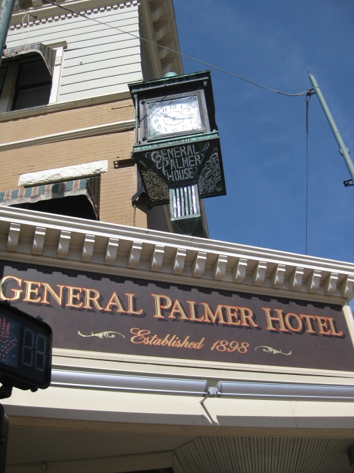
The Victorian decor and atmosphere was relaxing and charming.

In the morning, I took a stroll up Main St. to find the only cache within walking distance.
THE BLACK BOX
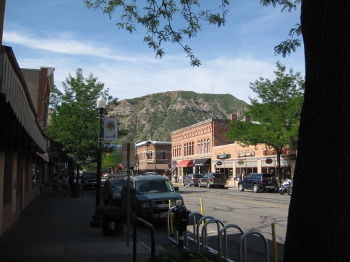
The architecture is a classic mix of old and new.

The buildings all have basements. I note this, because they are uncommon where I live in Southern California.
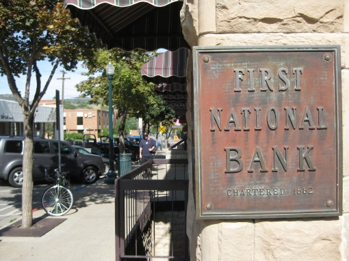
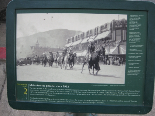
Along the street there are a number of plaques with photos of highlights of the town’s past.
I’m not sure if this place is there, or if there’s someone to take a reservation… ha.

Mountain view

Another beautiful historic hotel

Next time I’m in town, I’ll have to take the train through the scenery!
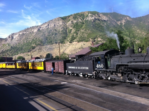
Durango & Silverton Narrow Gauge Railroad Train


Colorado, the Beautiful

29 11 2012

Driving from the cache at 11,200 feet to Durango was one of the most spectacular drives I’ve taken. After the days and days of flatness, it was a relief to be back in mountains, too, which is my natural habitat.

Vista Vows
Pillows aren’t for sleeping

trail at 11,200 ft

view through the trees

many valleys

wooded trail

a pullout with some history along with the view

a drove of donkeys

I always get a kick out of being at the Continental Divide – it’s an existential meeting of east and west, history and future, humidity and desert. Ha.

a rest area at the side of the road surrounded by loveliness

This vista point was the highlight of an already incredible drive!


Gateway to The West

11 10 2012

I hadn’t planned on stopping at the St. Louis Arch (silly me!!), but as I approached it, I knew I had to take a closer look. It’s right across the mighty Mississippi River, and it did make me feel welcome – and impressed!

It’s a spectacular structure. From the right angle, it looks like an obelisk.

It’s BIG. It would not fit in my camera frame as I got close to it. This is the base:

… here’s the top. The angles almost make the air underneath it look like glass.

My video gives a better perspective.

Since I hadn’t done any research ahead of time, I had no idea what to expect. I discovered a vast underground museum and breezeway. I was glad to get down there, as it was literally over 100Âş outside.

From here, I could buy an expensive ticket to ride up to the top, but I opted not to, rather I spent the time I had on a history-seeking, multi-stage virtual that had me scouring the museum for clues.

St. Louis Arch Virtual Cache

After finding the clues in the various displays, which included walls and walls of dates, history, animatronic figures, and artifacts, I put together the final coordinates, and headed back outside to find the cache. I went down these new steps:

… and back up these old, crumbling steps:

I was glad that the final was easy to find, and it was even back by the garage where I’d happened to park my car!


Indiana

4 10 2012

In order to get from Kentucky to Missouri, I found myself driving for a lot of the time through Indiana. I spent the night in the Louisville area, but not really in Kentucky. The best hotel deal ended up being just across the river in New Albany, Indiana.

I like how each state greets its visitors.

One associates Lincoln with Illinois, but he spent much of his childhood in Indiana. I didn’t get to the National Park in his home town, but read some signage about him at the welcome center.

Of course, I looked for easy ones to find at rest stops. It’s not fun to DNF, especially when you’re way out of town!
I-64 Rest Area
The path to the cache:

… and the view from the cache, such as it was. Being out in the flat, flat mid-West confirmed my identity as a mountain girl.

This rest area boasted a natural sink hole. It was curious, but not all that impressive.
Hoosier CaCO 3 Sinkhole

This classic McDonalds was an impressive bit of American history, though.

It’s just hilly enough to get expansive views of the farms and farmland.

Reminder: you can click on my photos to get larger versions and see more details. Cache titles and other things underlined are links to their respective pages.


Mississippi

20 09 2012

I still like spelling this state’s name out loud. It has a musical rhythm.

It was a quick detour around Memphis to get to my 3rd new state of the trip. I only had a chance to get one cache, but that’s all it takes, and this turned out to be a remarkable experience. The cache was at the entrance of a cemetery full of Civil War heroes and their contemporaries.

DeSoto Trail #6 – Southaven

The headstones, though very old, were mostly in very good repair.

Many were still decorated by their descendants.

So many of them were obelisks like this one, and each side has a fair amount of information on it about the deceased, like this one…

… and this one –

The caretaker greeted me as I found the cache. He loved the idea that geocachers were coming to find it and learn more about the history there. He showed me all around the place and regaled me with detail after detail of several of the current residents.

It’s not every day that someone excitedly shows you his future spot in history. I hope he lives to tell these stories for a long, long time before finally settling in!