8 Years of Geoacaching

5 06 2011

I celebrated this milestone and my mom’s birthday by taking one of my favorite road trips all the way up the state of California to Yreka.

I found a few new caches in town with my Dad. Here he is in Discovery Park…

… where I played on this swingset as a kid…

… and where we enjoyed learning new bits of history at the cache there:
"A Mighty Town"

We also enjoyed a stroll around Greenhorn Reservoir, where the weather was perfect for taking in the views:

The mountain out there is Goosenest.

The wild flowers are in full force.

The rest stop just north of Weed has an earthcache about the ancient rock formations made by Mt. Shasta, and bit of more recent history on display nearby:
Ancient Mt. Shasta Debris Avalanche

This was also Memorial Day weekend, and I’m truly grateful for the folks that defend my country and our exceptional freedoms. Without them, I would not be doing what I do.


Supplemental: more Mt. Shasta photos

19 08 2008

Theses photos are courtesy Michael Zippel, one of my compatriots on the climb.
Enjoy!


Mt. Shasta Summit!

9 08 2008

I chose the “slow and steady” version with the Shasta Mountain Guides, and as it was, I realized that I was just barely in training enough to make it! One never knows what is required of one, until one attempts things, though. When I climbed the mountain, there were NO caches at the top OR even on the way! At least, there are will soon be TWO Earthcaches at and near the summit, graciously posted by bthomas and f0t0m0m using information I collected! (Yes, I’ll be able to log finds as a beta tester!)

The epic trek began with an equipment check at The 5th Season sporting goods store in Mt. Shasta City. After we had all of our gear together, we drove up to the trail head. This was an adventure in itself! There were some slightly sandy spots and one larger, sandy hill to get up to the parking lot, but my Prius barely made it. As it turned out, it did presage things to come….

The Trailhead:

The first day’s hike (of FOUR) was about four or so miles with 2000 feet of elevation gain to our first camp, near a spring:

My tent is on the left there, and here’s the view of the spring from within said tent:

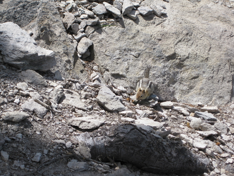
This is looking up at the summit from our first base camp:

Yep, that moonscape is the mountain terrain, and from there it was pretty much all snowless, rocky, sandy, slidy, scree to the top! The second day was only about 2 miles of hiking, but up another 2000 feet, where we camped at about 10,500 feet and did a little crampon/ice axe training on a nearby snowfield.

Here’s the view from my tent from there:

It was very smoky from the many forest fires in the state, so the view never got any clearer for this trip. It still looked like a loooong way to the top, too:

The third day was Summit Day, and it took me 9 hours to get there from the second base camp, over 5 miles of struggling up scree and talus with almost 4000 feet of vertical gain. Words like “strenuous” and “exhausting” just don’t cover the extreme effort and stamina it took to get there, and I was BARELY in shape enough to do it!

After all the scree scrambling, a couple of snow fields, and some boulder climbing, here I am at the summit!

This is how I really felt:

I didn’t have any vista or scenery to “distract” me from the task at hand, since it was so smoky:

That also shows where the summit sulphur hot springs are, but we couldn’t see or smell much of them today, as it was pretty windy up there. This is Whitney glacier, up near the summit:

This is the summit log, the “Holy Grail” for the day:

After hanging out for about a half an hour, it was time to head back down…. which was sort of easier, but it still took me 5 hours to get back to my tent, where I collapsed. The descent involved plenty of sliding down what I’d just slid up, and it was just as fatiguing. The next day, we packed it all up and hiked the 6 miles or so back to the cars!

Here are the other folks on the slow and steady tour: Angelika and Michael (from Heidelberg, Germany) and our marvelous guide, Nick, without who’s encouragement and shepherding, I would NOT have made it!

I survived the adventure with just a couple of swollen toes… whew! This was a true peak experience… all puns and senses of the word intended! What’s next? Hm… Stay tuned for more geocaching adventures!


The Road to Mt. Shasta Ascends Through the Eastern Sierras

2 08 2008

The week before the scheduled summit trip, I spent 4 nights at Rock Creek Lake to acclimate to high altitude. I actually camped for 4 nights in a row in a tent! The altitude at the campground is 9700 feet, and to that I did a moderate hike each day. There were a few caches along the way to the lake and around Bishop, but no caches on any of the hikes!

Before I go further, I do want to thank two of the people who helped me with my preparation for summiting Mt. Shasta: Ranboze (a geocacher) and Jody (a hiking/singing buddy). Jody came up with me for these training hikes and camping, and Ranboze provided a wealth of knowledge and encouragement as I worked to accomplish this goal over the last year!

This is the path to Dorothy Lake, up around 10,000 feet:

This butterfly was showing off:

It started raining during this hike, and you can see the drops in this little lake:

Near the end of the hike, I shot my first bit of video with my new Canon SureShot!

The next day, we hiked up to Ruby Lake. There are a string of 9 lakes along the creek below it:

I couldn’t resist a good nap with Ruby Lake as my back yard for the afternoon:

On the third day, I headed over to the Ancient Bristlecone Pine forest, for a 4.5 trek through the remarkable trees. Here you can see a young one and an old one right next to each other:

This is a view from the trail, looking more or less east:

These are a few of the many ancient trees in the Methuselah grove:

A few of these trees are over 4500 years old!

I did get a couple of photos at the more noteworthy geocaches.
These hills have ears

Dazee’s Field of Dreams
They were using the adjacent area to stage helicopters to fight the huge number of forest fires in the area:

Yep, next stop = Mt. Shasta!!


The next steps to Mt. Shasta: Black Butte

10 07 2008

Black Butte is a striking volcano that sits right next to Mt. Shasta, and I’ve always wanted to climb it, too… so I did! I was up visiting my parents and the 5-mile RT hike up this steep, rocky, old volcano seemed the perfect thing to do break in my boots more.

Yowza.

The trail is really challenging in its rocky parts, and there’s some boulder scrambling to get to the old lookout, which I’m really nervous about. There were several people at the summit, though, so I had lots of help… and finally got the cache that’s up there!

Black Butte-y

On the way back, my feet starting hurting again… once again real tear-jerking agony… and I knew my boots needed more than breaking in! OW. I went straight to the Fifth Season, where I’d purchased them specifically for the Shasta adventure (I need crampon compatible footwear) to see what, if anything, could be done.

The local boot expert, Jacques, kept them over night to stretch them out. I picked them up the next day, hoping that would do it… or it might require more fussing with to get my feet to tolerate them… and might I be able to do that in time?

I’ll keep you in suspense, but here are my photos from the hike. The views were stellar – all the way to the horizon!


Above: do you see the chipmunk?
Below: I found these at the Shell station in Yreka. They still work!

OK, I won’t keep you in suspense. I took the boots on another test hike of about 5 miles, and they seem to be fine now!